Find continued updates on our Master Plan by clicking this link: Ada County Parks and Waterways Master Plan | Social Pinpoint (mysocialpinpoint.com)
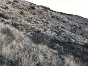
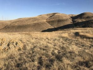
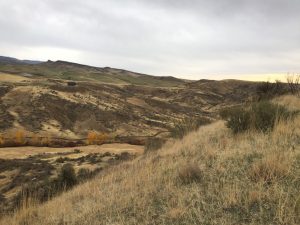
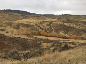
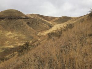
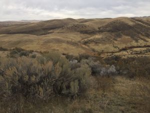
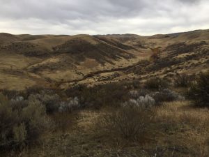
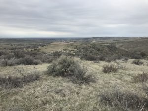
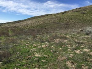
The Red Hawk Conservation Area is 250 acres of property in the Dry Creek Valley, located in northern Ada County in the Boise Foothills between Hidden Springs and Avimor. The area is a valuable wintering habitat for deer and elk. It also provides native upland and riparian vegetation that provides erosion control and protects native soils. The trail allows for non-motorized recreation like hiking, running, mountain biking and horseback riding on designated trails. This property had been owned by Ada County since 2012, but was designated a conservation area by the County in January of 2021.
Parks & Waterways has been working for several years with this property to manage and create a trail system that is pleasant for non-motorized users during suitable trail seasons. These trails are called Landslide Loop, Red Tail Trail, and Currant Creek Trail. The Landslide Loop shoots off from both the Currant Creek Trail and Red tail Trail, spanning 2.23 miles in the Northwest section of the Red Hawk property. The Currant Creek Trail runs 1.82 miles and the Red Tail Trail runs for 2.89 miles, which before the Landslide Loop was built, were out and back trails.
Directions: To access these trails, you’ll have to park and walk out from the Dry Creek Trailhead on W Dry Creek Rd just north of Hidden Springs. The best way to get there is to take State street until you hit Horseshoe Bend Rd, head north for 3.5 miles until your reach Dry Creek Rd. Head west on Dry Creek Rd for about 3 miles and the parking lot will be on your right. The parking lot has about 20 spaces and is unpaved, leading to the trailhead just north of Dry Creek Rd.

