Find continued updates on our Master Plan by clicking this link: Ada County Parks and Waterways Master Plan | Social Pinpoint (mysocialpinpoint.com)
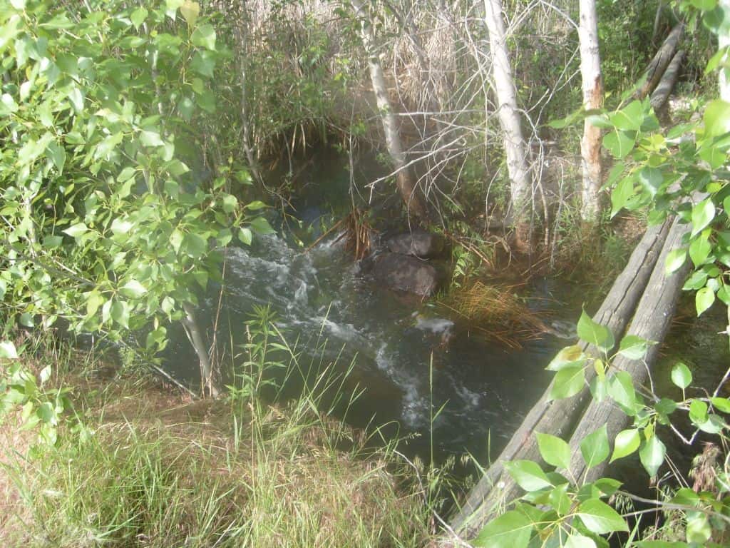
Welcome to the Hubbard Reservoir!
Hubbard Dam History
Hubbard Dam was originally constructed in 1902 by David R. Hubbard, who was on the board of directors for the Boise Valley Irrigation Association. This is an earth fill structure 23 feet high creating a reservoir area of 450 acres with an active capacity of about 4,000 acre-feet. The reservoir is located about 12 miles southwest of Boise, Idaho. In 1909, the first water came in from the New York Canal, but it didn’t hold the anticipated amount of water, due to the type of soil and bedrock at the bottom of the reservoir. The Bureau of Reclamation purchased the facility in 1911 as part of the Boise Project in order to provide emergency short-term storage for de-watering the New York Canal should a failure in the canal occur downstream. The dam and reservoir are operated and maintained by the Boise Project Board of Control as a re-regulating facility for irrigation water deliveries in the adjacent area.
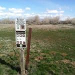
In 1979, the Idaho Department of Lands re-established the surface land title while the Bureau of Reclamation retained reservoir rights to the property. After a couple decades, Ada County entered a lease agreement with the Department of Lands in 2003 to create the Hubbard Recreation Area as it is today (with a few modifications). Some notable changes to the area facilitated by Ada County includes banning hunting and shooting within the premises in 2007, installing a restroom, and creating informational kiosks with trail markers.
Geology
Hubbard Dam is centrally located in the Western Snake River Plain (WSPR) physiographic province. The WSRP is a 50 to 70 km wide trough that trends northeast across southwestern Idaho. The WSRP is characterized by mid to late Cenozoic fluvial lacustrine sedimentation, voluminous basaltic volcanism, low relief and extremely low rates of seismicity.
Friends of Hubbard Reservoir
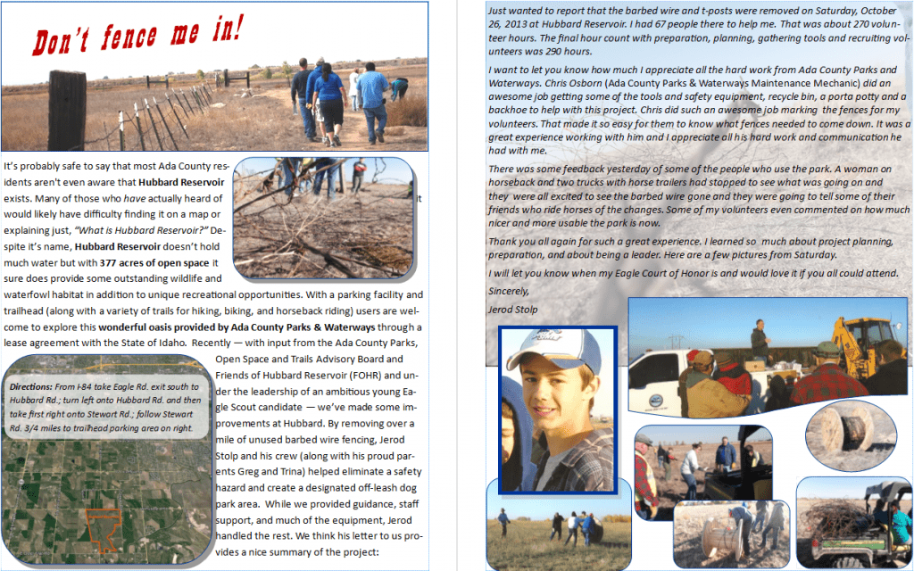
The goal of Friends of Hubbard Reservoir (FOHR) is to elevate the public’s awareness of the vast potential held by Hubbard Reservoir. FOHR encourages local government, business, schools, and citizens to donate funds and time to improve the accessibility to and use of the site. There is enormous potential here for a beautiful nature preserve, strategically located in the middle of what will eventually be large housing developments.
Directions:
From I-84 take Eagle Rd. exit south to Hubbard Rd.; turn left onto Hubbard Rd. and then take first right onto Stewart Rd.; follow Stewart Rd. 3/4 miles to trailhead parking area on right.
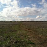
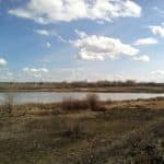
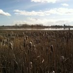
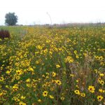
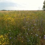
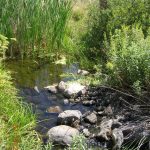
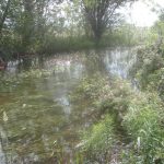
Beautiful Photos
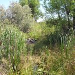
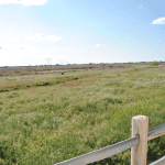
At the Hubbard Reservoir, there are many great opportunities to capture beautiful photos. Here are some examples of the photos you can take!
Key features: There is a riparian area where wildlife gathers near a small permanent pond on the South end of the property. There are also several miles of multi-use and equestrian trails.
Traffic: This is a hidden gem in central Ada County! It is more than likely you’ll be the only person at the site if you visit.
Best time of year to visit: Spring is the best time to visit, there are field of flowers that bloom and many juvenile animals will be present.
Points of Access: There is an access point off of Stewart Rd between Locust Grove and Cloverdale.
Parking Availability: There is room for a few dozen cars and buses/horse trailers. There are plans to improve the parking lot further to allow for more space and access.
Wildlife in the Area: There have been 165 species of bird identified, mostly around the pond
Amenities: There is a vault restroom available at the trailhead with an educational kiosk with a map of the recreation area

