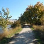
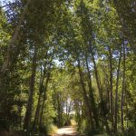
Find continued updates on our Master Plan by clicking this link: Ada County Parks and Waterways Master Plan | Social Pinpoint (mysocialpinpoint.com)
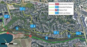
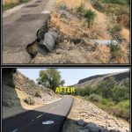
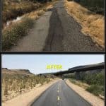
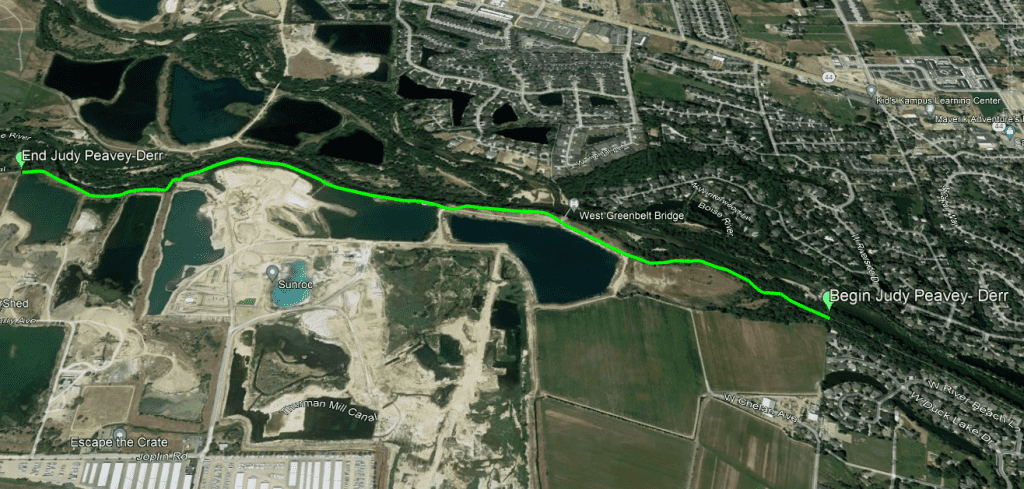
Judy-Peavey Derr/F.A.C.T.S. Segment: UPDATE: The contract for renovation of the JPD/FACTS Segment of the Greenbelt was awarded during the Open Business Meeting on December 5th, with construction starting on December 11th. This closure is expected to last until February 16th, 2024. This project is now expected to be completed on March 6th, 2024.
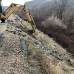
UPDATE 3/4/2024: This project has encountered unforeseen weather and construction delays. As a result, the Greenbelt Pathway on the south side of the river just downstream from the Garden City West Bridge near the Sunroc gravel pit will continue to be closed for construction from Monday, March 4th through Friday, March 22nd.
Please avoid the area during this time as there will be no detours available through the construction zone.
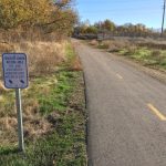
This Phase 1 closure involves a complete replacement of the damaged asphalt pathway with a wider, safer, smoother concrete surface.
Once Phase 1 is completed and re-opened, a Phase 2 closure will occur on the south side of the river UPSTREAM from the Garden City West Bridge to the New Dry Creek diversion dam. Details on the Phase 2 closure will be posted here.
UPDATE: 3/11/24:
Welcome to the Boise River Greenbelt!
Ada County Parks & Waterways is responsible for managing over 11 miles of the Boise River Greenbelt. Parks & Waterways has improved and renovated nearly all of those 11 miles. We are continuously working to complete renovations on the remaining parts. While it may be an inconvenience when a section of Greenbelt closes for repairs, the finished product exceeds all expectations and makes for a much more pleasant ride or walk.
What is the Greenbelt?
The Boise River Greenbelt is a system of paved, multi-use trails that runs along the Boise River from Lucky Peak to Garden City. With over 25 miles of usable pathways, it touches many parts of Boise and connects people from all over the city with beautiful views and stimulation of all your senses. Along the Greenbelt there are many destinations and recreation opportunities. Some of these include restaurants, Boise State athletics, and spots for fishing and bird watching. Take a weekend trip to visit some great spots along the Boise River!
When can I use the Greenbelt?
You can access the Greenbelt everyday from Sunrise to Sunset.
Has the Greenbelt always been here?
No! In fact, before the 1960’s many residents of Boise avoided the River because it was littered with junk and debris. Beginning in 1966, Boise City Councilman Bill Onweiler began the Greenbelt Initiative and the Boise River Greenbelt Plan began to get State and private commitments. The project began to really get moving when the City of Boise started acquiring land in 1969 and Councilman Onweiler’s 1970 PSA to raise awareness of the potential the Greenbelt held.
Following this, the Greenbelt began construction in the 1970’s, mostly moving East from its origin towards Park Center Blvd. Through that decade the Greenbelt began moving East to West, and in the 1980’s it reached Lucky Peak Dam. In 1987, Ada County Commissioner Judy Peavey-Derr requested a Boise River Trail Foundation be created to aid in the growth of the Greenbelt. The goal of this was to extend the Greenbelt from Lucky Peak to Eagle Island State Park by the 1990 Idaho Centennial Celebration. While this goal didn’t get met, the community gathered together to create the amazing pathway we know today. Through continued efforts since then, the Greenbelt extends over 28 miles from Lucky Peak Dam to Garden City, ending right around the Boise Watershed building off Joplin Rd.
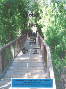
Boise River Trails Coalition
THE VISION
Our Vision is to have a connected system of pathways on land and water on and near the Boise River from Lucky Peak Dam to the Snake River that binds the recreational, educational and economic opportunities of our river communities.
The Boise River Trail Coalition is made up of a cross-section of Treasure Valley citizens and representatives of cities, counties, and non-profit organizations.
The Coalition is funded thru a grant received from the National Parks Service and is facilitated by Sue Abbott, a National Park Service planner, based in Seattle, Washington. The Coalition meets monthly on the 2nd Wednesday of the month. Location rotates among members.
OUR GOALS
- Create a land and water trail system that will be supported by community participation.
- Design connected pathways for community walking, bicycling, horseback riding, bird watching, river paddling, fishing, and other non-motorized outdoor activities.
- Connect community trail networks with alternative transportation routes.
- Respect the rights of private landowners and the wishes of donors to the pathways system.
- Promote the health and wellness benefits of Boise River Trails to Treasure Valley residents and visitors.
- Provide educational opportunities and interpretation of the natural and cultural resources along the land and water trails.
- Promote the economic development of Boise River communities through partnerships, programs, and facilities.
Our Segments
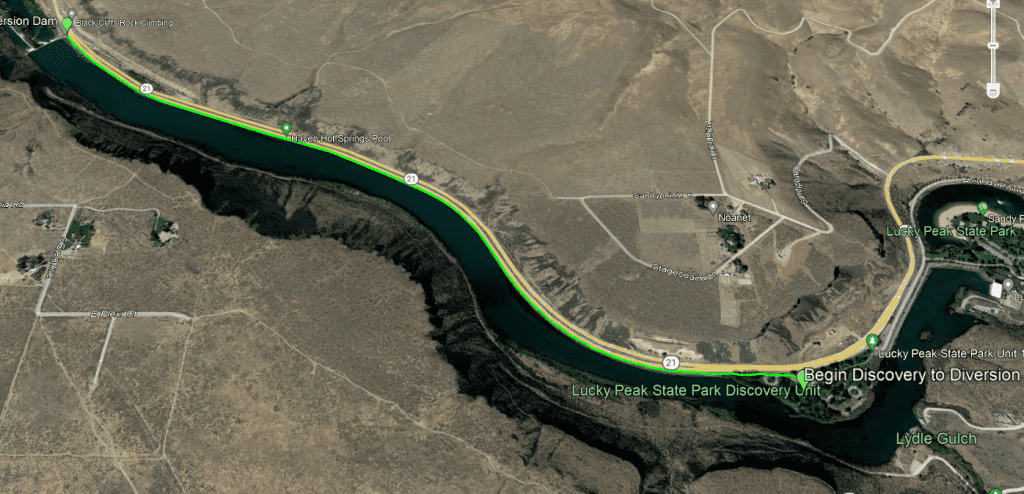
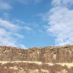
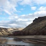
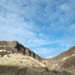
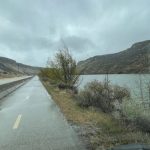
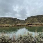
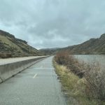
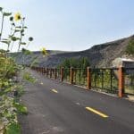
This section of the Greenbelt stretches from Discovery Park at Lucky Peak to the Diversion Dam at the intersection of Highway 21 and Warm Springs Avenue. Stretching approximately 1.7 miles, it is separated by a jersey barrier to keep users of the pathway safe as you wave through a quarter mile wide basalt canyon.
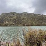
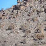
Key features: Black Cliffs to the Southwest of the Greenbelt (pictured below), where you can observe the basalt columns, rock climbers, and if you look closely raptor nests! (The bird of prey, not the dinosaur!) In addition, you can access Discovery Park from this section of the Greenbelt, where you can use the picnic tables to have lunch in the shade, use the seasonal restrooms, and take a dip in the Boise River!
Traffic: This section of the Greenbelt is near Highway 21 so be sure to keep an eye on motor vehicle traffic! As far as Greenbelt traffic volume, it is fairly low and its mostly cyclists.
Best time of year to visit: The best time to travel this section of the Greenbelt is in the Spring and Summer to get the best views of the Cliffs and experience the safest conditions.
Fun Facts: This is the farthest upriver segment of the official Boise River Greenbelt.
Points of Access: You can access the section of the Greenbelt from Discovery Park or from the other end of this section at Warm Springs Avenue near the Diversion Dam.
Parking Availability: There isn’t much parking available, there is a $7 fee for parking at Discovery Park and there is some parking at the Black Cliffs Rock Climbing on the north side of Highway 21.
Wildlife in the Area: The most abundant on this stretch are going to be birds of prey and waterfowl
Know before you go:
- Narrow segment, not much room for stopping along the way
- There will be some road noise due to proximity to Highway 21
- On summer afternoons there is minimal shade and an upstream wind
- Expect potential debris on pathway, especially after a storm
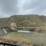
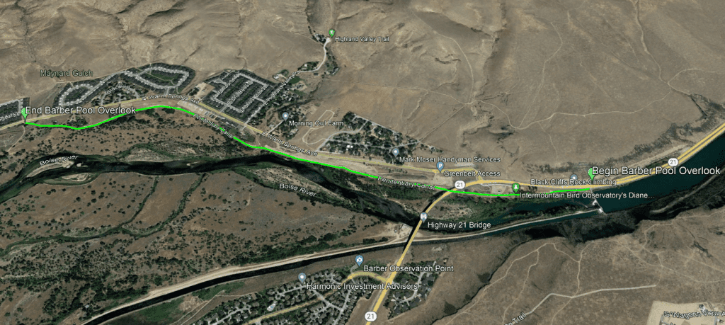
This section of the Greenbelt stretches approximately 1.8 miles from the Diversion Dam on Highway 21 to the old Gregerson property off E Warm Springs Avenue.
Key features: The best places to visit while on this section are the Diversion Dam, where there is a small resting area and interpretive kiosk, the Intermountain Bird Observatory research station at the Diane Moore Nature Center and the Barber Pool Conservation Area. Peace Valley also lies along this stretch.
Traffic: This section of the Greenbelt has mild amounts of traffic, but this section is recently renovated in 2018 and features 11′ wide pathways, allowing for plenty of space for foot and bicycle traffic.
Best time of year to visit: As with most sections of the Greenbelt (and Boise as a whole) the best places to come by is in the Spring when all the plants are blooming and trees are getting their green leaves, and the Fall when trees turn their pretty fall colors.
Points of Access: There is a Greenbelt Access parking lot off of Warm Springs Avenue near Highway 21, the rock climbing lot you can access the previous segment from, a small access road and lot for the Intermountain Bird Observatory, and a small parking lot in “The Rim at East Valley” neighborhood where there is a short walk and ramp to access the Greenbelt.
Wildlife in the Area: There is a wide variety of birds at this sight, such as bald eagles, ospreys, herons, and many other raptors and waterfowl. In addition there are deer, elk, and antelope. There is also coyotes, foxes, and bobcats.
Know before you go:
- Most of the Barber Conservation Area is closed to public use to protect wildlife
- Please respect all wildlife when you visit
- There is plenty of shade and broad shoulders on the Greenbelt for resting
- Expect to encounter fast cyclists
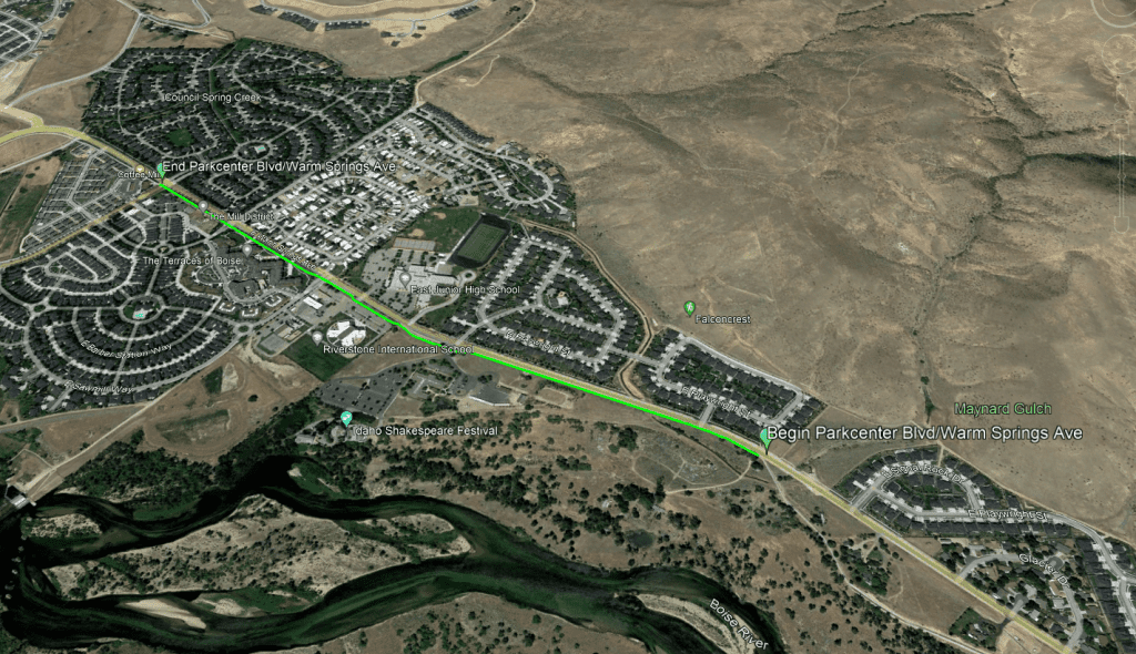
This section of the Greenbelt runs along Parkcenter Blvd/Warm Springs Ave from the old Gregerson Property to Eckert Road which is roughly 1 mile of Greenbelt.
Key features: This segment runs past the Idaho Shakespeare Festival, the Idaho Department of Parks & Recreation, Riverstone International School, and East Junior High School.
Traffic: Along this stretch there is a moderate amount of traffic, with many pedestrians particularly when schools are starting session, and when they release for lunch time and end of day.
Best time of year to visit: This section of the Greenbelt is a great year-round way to get from surrounding neighborhoods to the shops, restaurants, and schools in the area.
Fun Facts: On this stretch of the Greenbelt you’ll be able to find the Ada County Sesquicentennial (150 year anniversary) recognizing the Boise River Trail Foundation.
Points of Access: There is access to the Greenbelt from basically anywhere on this stretch, there is street parking next to the shops and if you live in the neighborhoods it won’t be an issue to reach the Greenbelt! There is also a large lot that is shared with the IDPR and the Idaho Shakespeare Festival.
Wildlife in the Area: Due to high traffic in this area, the kind of wildlife you’ll see is fairly small. They are going to be smaller perching birds such as larks and finches, and many different species of butterfly.
Know before you go:
- Surface conditions vary from season to season and pathway width varies
- Several roadway crossings and entrances to business
- Large amounts of roadway noise being adjacent to Parkcenter Blvd
- Potential debris or standing water on pathway after storm events
To learn more about Barber Park, visit our page that is dedicated to our flagship park!
The uniqueness of Barber Park and the Greenbelt is created by the fact that there is an unpaved multi use pathway and a paved pathway that are both branches of the Boise River Greenbelt.
Key features: Paved pathway and unpaved trail of the Greenbelt.
Traffic: There is always somebody walking on this section of the Greenbelt either walking their dog or juts enjoying a nice walk with family. During the summer months this section of the Greenbelt is swamped with River Floaters!
Best time of year to visit: This part of the Greenbelt is perfect for all seasons! There are different aspects that change the experience throughout the year. In the spring you can see the flowers blooming in the wilderness area and the leaves on the Black Cottonwoods are returning. In the summer the trails are a great way to beat the heat since it is totally shaded! Fall and Winter are great because the park has some evergreen trees that dot the park and keep it looking alive when most other trees drop their leaves for the winter.
Fun Facts: The paved path of the Greenbelt on the south side of Barber Park is multi-use, and is used as a way for bikers to traverse from Bown Crossing to Harris Ranch. The unpaved pathway is for pedestrians only and runs closely to the river.
Points of Access: You can access Barber Park either through the Main Entrance off Eckert Rd, the Greenbelt off Eckert Rd, or the Greenbelt off Park Center Blvd near Bown Crossing.
Parking Availability: There is a large amount of parking available for free in Barber Park outside of River Floating Season, however it is $7 to park during the float season.
Wildlife in the Area: There are a few different types of birds of prey at Barber Park including Great Horned Owls, Cooper’s Hawks, and Bald Eagles. There are also deer that sometimes run through the park. Some animals to look out for are coyotes and bobcats which have been known to come around from time to time.
Amenities: There is a public restroom that is open year round at Barber Park, as well as a second set of restrooms that are open during float season in the snack shack.
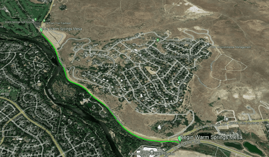
This section of the Greenbelt runs 1.24 miles along Warm Springs Ave from the E Parkcenter Blvd bridge to the Warm Springs Golf Course.
Key features: On the southern edge of the Greenbelt you will find lush trees and you will be in earshot of the river. The Warm Springs Golf Course is a nice place to sight see and watch some golfers on the links.
Traffic: There is moderate traffic, expect to find many cyclists
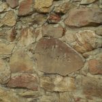
Fun Facts: This segment serves as the connecting piece of Greenbelt Pathway between Barber Valley and Downtown Boise. You can also find a historic stone wall engraving reading “Wm M 4.7.32”
Points of Access: You can access this section from Warm Springs Golf Course and The Natatorium parking lot.
Parking Availability: There is not much parking around this section of the Greenbelt. There is a small lot at the Warm Springs Golf Course.
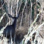
Wildlife in the Area: In this area you’ll see some mule deer as this is a wildlife crossing area, as well as small perching birds and butterflies.
Know before you go:
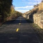
- Pathway is threaded between an elevated roadway and mature riparian area, creating a tunnel effect through much of the length
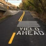
- There is a driveway and subdivision entrance along the path
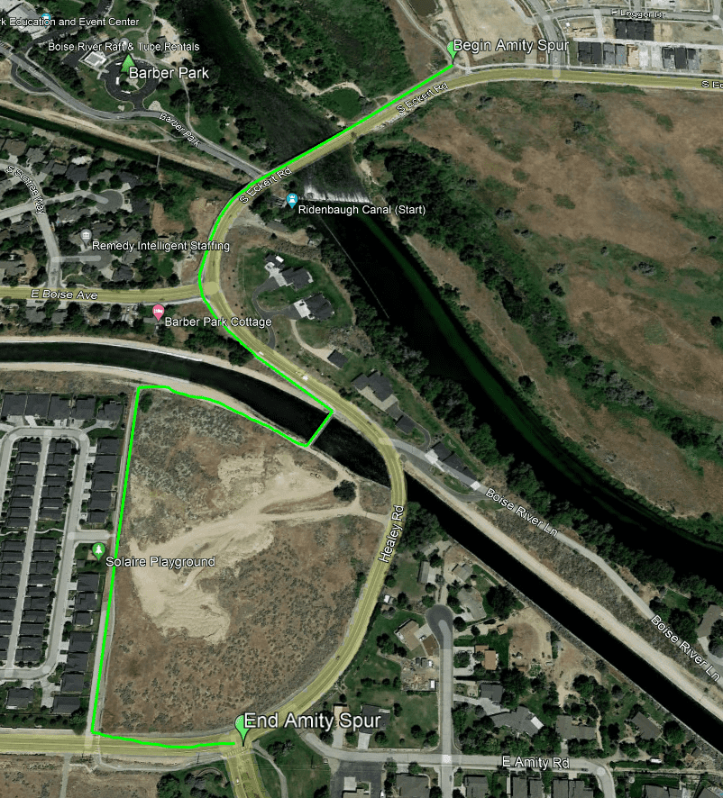
This segment is actually a shared use pathway segment (not typically considered part of the “official” Boise River Greenbelt) located between S. Surprise Way and the entrance to Barber Park at the Eckert Rd. bridge. The pathway includes a bridge crossing over both the New York Canal and the Ridenbaugh Canal and provides a safer pathway alternative than Amity/Healey Rd. for connecting users between Surprise Valley and Barber Park. It includes four road crossings and some elevation gain/loss between the Boise River and the bench above the New York Canal. This section of the Greenbelt segment is roughly 3/4 of a mile.
Traffic: There is typically a low amount of traffic, mostly people and bikers heading from Amity Rd down through Barber Park.
Fun Facts: On this section, you can find an Oregon Trail obelisk near Boise Ave, views of the New York and Ridenbaugh canals, and access Barber Park
Points of Access: You can access this section of Greenbelt from Barber Park, Surprise Way, or Eckert Rd.
Parking Availability: Parking is available in Barber Park
Wildlife in the Area: Small perching birds and butterflies, you may see the occasional raptor on your trip
Key features: This segment of Greenbelt is close to the Judy Peavey-Derr segment, and as the name suggests is next to Expo Idaho property.
Traffic: This part of the Greenbelt can be extremely busy during peak fishing season. This is usually in the summer time when the fair is happening and the river is running high.
Best time of year to visit: The best time to visit this section of the Greenbelt is in the Spring and Summer!
Points of Access: There is a large Greenbelt Access parking lot just past Expo Idaho on Glenwood and Marigold. You can access the Fish Park at Glenwood bridge from this parking lot as well.
Wildlife in the Area: Near the river there are water fowl, and in the river there are trout and other small fish.
Amenities: There are no restrooms on this stretch of Greenbelt, there is a convenient store across the street along with a Garden City Public Library.
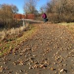
This segment of Greenbelt stretches from about Branstetter St to Orange St ending near where the Boise Watershed building is, which are both between Chinden Blvd and the Boise River.
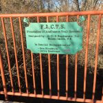
Fun Facts: This section of the Greenbelt was formally known as “FACTS (Friends of Ada/Canyon County Trail Systems) segment” but was renamed by the Ada County Commissioners in 2016 to recognize Judy Peavey-Derr’s contributions to Ada County and her advocacy for a pathway along the Boise River. Ms. Peavey-Derr was actually the president for FACTS from 1997-2013, a former County Commissioner, and helped to create this section of the Greenbelt.
Thank you to the following: FACTS, Ada County Commissioners
Points of Access: There isn’t much access to the Greenbelt on this section if you aren’t already traveling on it, so the best way to get here is to park at the Marigold parking lot and travel west. You can also reach the Boise Watershed Education Center (More info here)
Parking Availability: Parking lot near on Marigold Rd and Glenwood St a short distance down the Greenbelt

