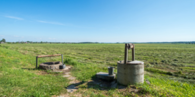
Water is one of our most precious resources. Development Services works closely with regional partners such as DEQ, IDWR, and IDHW to monitor our water quality and quantity and work together to ensure this resource is in good shape not only now, but for generations to come.
As a regular part of our subdivision reviews, our engineering and surveying team checks the latest water quality and quantity data available. You can also access this information for your own address via the resources below.

ARPA Water Main Extension Project
In 2023 the BOCC approved the ARPA Water Main Extension Project. Project construction started in March 2024. Ada County and Veolia have received some confirmations from homeowners that intend to connect to the new main at this time. If your address is listed in the project area and you intend to connect to the water main provided at this time, please email [email protected].
There will be a meeting to answer questions and discuss the project on Thursday, March 14, from 6-8 in the Development Services Large Conference Room at the Ada County Courthouse. Residents can also join the meeting virtually.
BSU is interviewing residents in the valley about their perspectives about water, and can also measure the water level in your well. You can check out their Water Consciousness page for more info.
2023 ARPA Regional Wells Study
In 2022, the BOCC used ARPA funding to contract with HDR to conduct a well study in Southwest Boise. The study was conducted to better understand the hydrogeological conditions in the 8,500 acres generally bounded by Cloverdale Road, Franklin Road, Cole Road and Lake Hazel Road. Moving forward, the county will continue gathering data on wells in Ada County. To participate in this ongoing study or for any questions you might have, please reach out to County Engineer Zach Kirk.
Water Quality
To check on the quality of water in your area visit the Idaho Department of Health and Welfare’s Water Quality Resource Page, then type in your address. Then you can click on the blue dots around your location to see the contaminant levels near your location.
To see if you are in a nitrate priority area visit Idaho DEQ’s Nitrate Priority Area Mapand zoom into your area of interest.
Water Quantity
To check on the depth of the groundwater in your area visit IDWR’s Station Overview Map, then zoom into your area on the map. The click on the blue dot to see the reported water depth. You can also click on other options to see the water depth over time.
To check on the depths of constructed wells in your area visit IDWR’s Groundwater Management Map, then type in your address. Then click on the well symbol. You can also scroll down and click on more info to see the well log completed by the well driller. This will tell you the depth and type of construction of the well.
