The Community Planning Division works with other agencies, including the Ada County Highway District, Valley Regional Transit, COMPASS and the Idaho Transportation Department, to coordinate the transportation needs of the county.
Our planners are developing our own integrated transportation plan to ensure that we are providing thoughtful, accurate, and timely input to the requests made by ITD, COMPASS, ACHD, and applicants. While Ada County Development Services does not control any roadway infrastructure within its boundaries, this plan will help us to be better partners with our transportation agencies and our residents.
Transportation Projects in Ada County
Frequently Asked Questions
How are transportation projects identified and prioritized?
The identification and development of transportation projects is a multi-jurisdictional effort led by the Ada County Highway District and the Community Planning Association of Southwest Idaho (COMPASS). Based on population projects and local land use plans, COMPASS identifies roadway needs through the valley and develops a transportation model that forecasts traffic flows and volumes across Ada and Canyon Counties.
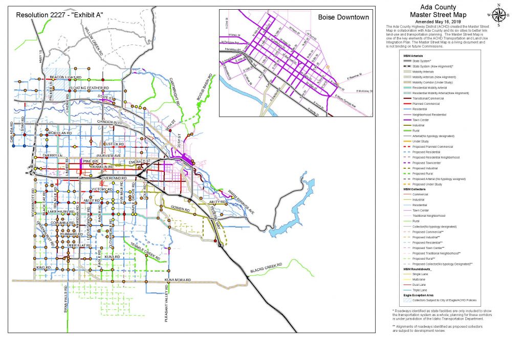
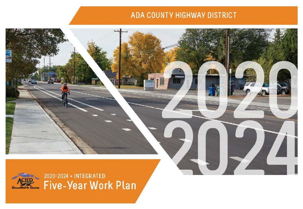
The Ada County Highway District maintains a Master Street Map that specifically identifies roadways, the roadway classification, and the number of lanes a future roadway might have. The Master Street Map is used to inform ACHD’s Capital Improvements Plan and Integrated Five Year Work Plan processes that identify specific projects for road construction and assign a construction year.
Why is there a lag between new development and associated transportation improvements?
The Ada County Highway District collects impact fees as new development occurs, which then are used to pay for road improvements in areas that have experienced pressure from growth. Because each individual development may not contribute enough in impact fees to pay for new capital improvements, there may be a lag between the time that an impact fee is paid and when a roadway is improved.
How are non-vehicular projects such as sidewalks and bikeways developed?
Non-vehicular projects such as sidewalks and bikeways are developed by ACHD through a neighborhood planning process, where community members and local jurisdictions, including Ada County, work to identify and prioritize important bicycle, pedestrian, and Safe Routes to School projects throughout the county. These projects are then prioritized through ACHD’s Integrated Five Year Work Plan process.
We’re now on social media!
Follow along for code explanations, frequently asked questions, public hearing information, and more!

